High-Precision LiDAR Drone Scanning for Accurate 3D Mapping
Professional LiDAR Drone Scanning services for construction, architecture, mining, highways, and land development. We provide high-accuracy LiDAR surveys, 3D point clouds, OBJ/FBX outputs, and complete data processing. Contact 360 VR Photography – Viral Gala: 9920322366.
LiDAR Drone Scanning Services
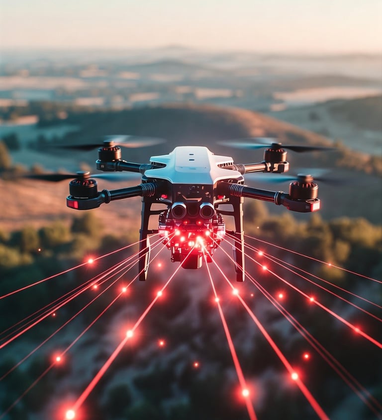
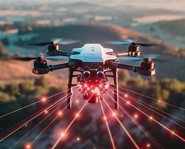
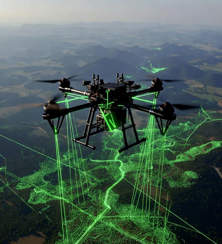
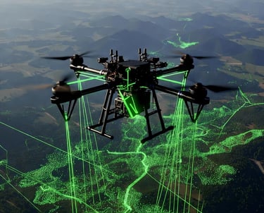
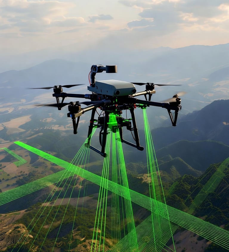
At 360 VR Photography, we offer advanced LiDAR scanning using drone technology, delivering fast, accurate, and high-density 3D data for projects across construction, architecture, engineering, land development, and industrial applications. Our drone-based LiDAR system captures millions of geo-referenced data points per second, ensuring unmatched precision even in challenging terrains and heavily vegetated areas.
What We Provide
• LiDAR Survey
High-accuracy aerial surveys for topography, land measurement, infrastructure planning, and environmental mapping.
• Output Formats (OBJ / FBX / LAS / PLY)
Fully processed 3D models delivered in your preferred format—ideal for CAD, BIM, GIS, VR, AR, and digital-twin workflows.
• LiDAR Data Acquisition & Processing
End-to-end solutions from drone flight operations to detailed point cloud processing, cleaning, filtering, meshing, and structured deliverables.
Applications
Our LiDAR drone service is useful for:
• Construction & Infrastructure Development
• Road, Rail & Highway Survey
• Smart City & Urban Planning
• Mining & Quarry Volume Analysis
• Forest & Vegetation Study
• Site Documentation
• Digital Twins, VR & AR Experiences
Why Choose Our LiDAR Drone Scanning?
• Fast data capture over large or difficult areas
• Highly accurate point clouds with strong detail
• Safe remote surveying—ideal for risky or inaccessible locations
• Fully compatible outputs for all major software platforms
• Professionals with years of experience in 360° imaging & immersive tech
Contact for Service
Viral Gala – 9920322366
Email: info@360vrphotography.in
Website: www.360vrphotography.in
Experience
Engaging virtual tours for real estate and events.
Innovative
Immersive
info@360vrphotography.in
+91 9920322366